Throughout the year, we look to our Agronomists and Precision Ag Specialists for their expertise and input on providing timely and knowledgeable articles to our customers and industry leaders via our electronic newsletter. Every summer, we challenge our Interns to do the same. We award up to 5 scholarships per year for winning articles. The purpose of this competition is to give our Interns a true feeling of becoming an experienced Agronomist, while showcasing their skills.
This article is written by our Intern, Zach Meyer.
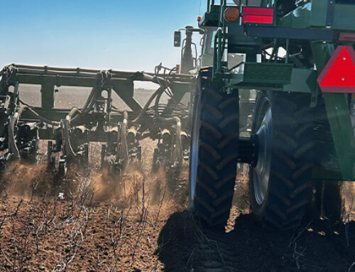
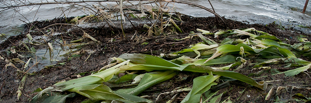
A spring like 2019 where there was record amounts of rainfall, brought many difficulties and challenges to farmers and crop consultants alike. A couple of these challenges included replant areas and nutrients being moved through the soils.
Crop satellite imagery has been around for over fifty years, but regained popularity among farmers and consultants about five or six years ago. About five years ago, farmers were able to obtain images for their fields approximately once every three to four weeks. Now in 2019, farmers can obtain crop health imagery on almost a daily basis via satellite. Effectively and quickly, this aides in the weekly crop management and decision making on the farm.
Satellite imagery can help determine where replant is needed. Sometimes places can be overlooked in a field from the ground. Imagery can be used to determine all the places where stands are thin or where there is no stand at all. Imagery can pinpoint areas that need to be looked at from the ground.
Nitrogen and other nutrient deficiencies can be seen using crop satellite imagery. Particularly in sandier soils this year, mobilized nitrogen leached through the soil much quicker than normal. When corn begins to grow over our heads, it becomes difficult to see the variable aspects of the field. With satellite imaging, we can see these nutrient deficient spots and make more timely fertilizer applications to minimize yield loss.
Yes, seeing your field and the progress it makes with satellite imagery is fascinating and exciting. But it is much more than that. It enables the farmer and the consultant to see the entire field in a short amount of time. This allows consultants and farmers to focus on specific areas that need attention, and make timely, effective decisions. Images from this past spring have been an incredibly useful tool for pointing out the various problems the wet weather caused. Since there are no two years alike, including 2019, I am thankful for having crop satellite imagery as a tool in agriculture.
Written by: Zach Meyer, Intern – Mt. Hope, KS Division
Featured Image: Flickr – USDA