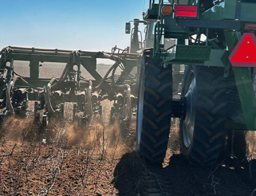
Ever heard the phrase “too little, too late”? Working in agriculture today, producers can’t afford for anything to be too little, or too late. There are too many variables leading up to harvest affecting your yields. Luckily, farm satellite imagery can identify nozzle issues and alleviate some of the unknowns.
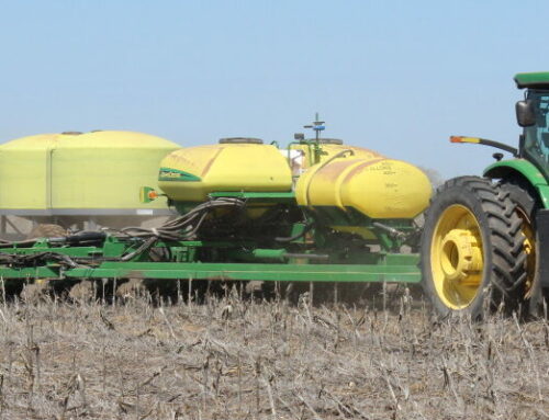
A problem that we are currently dealing with is having irrigation wells drop off. Lower well output brings on a whole new set of hurdles in itself. But as mentioned, with certain tools and technology there are ways to identify and fix these issues. One way to determine the impact of yield loss in your field is to wait until the crop is harvested. Then utilize yield analysis maps to show how much production was lost. Although yield maps are helpful in many situations, relying solely on them is a reactive solution. A solution that is often “too little, too late” for this growing season.
Utilizing crop health imagery is a proactive method to identifying issues before they become costly. Imagery provides the opportunity to cooperate with a partner (consultant, neighbor, irrigation tech, etc.) and reveal the problems as they begin to develop in the field.
We wanted to share the story below with you because it’s a prime example of properly using farm satellite imagery before the issue gets out of control.
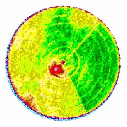 The image to the left is on a 450 gpm well. After this client received his first image of the season, the producer decided to ground truth the red area found near the center of the field. With an endless number of variables to be on the watch for, this is when it becomes difficult to catch everything. With the imagery, it was obvious there was some sort of issue to investigate. After carefully watching this red area, the producer discovered the system was pumping air out of the nozzles on the inside tower as it was facing south. After checking a few other things, the producer noticed the well output had started to decline. He decided to nozzle the sprinkler down to 400 gpm to resolve the issue. None of the corn was stressed to the point of flashing.
The farm satellite imagery showed this red zone was not a lot of acres. However, imagine how large the red zone would have become by harvest time had he waited on yield analysis to identify the problem.
Everyone knows timeliness is a key to success in production ag. It’s evident crop imagery simply provides a new look at an old problem without wasting valuable time.
The proof is in the stories we hear from satisfied clients. As with all Precision Ag Services, many times it makes sense to use multiple tools to help manage some of those hidden problems.
Today, we have millions of acres of farm satellite imagery across our trade area. We include the imagery free to our crop consulting clients because it’s useful in so many situations.
Written by: Nathan Woydziak, Hoisington, KS